
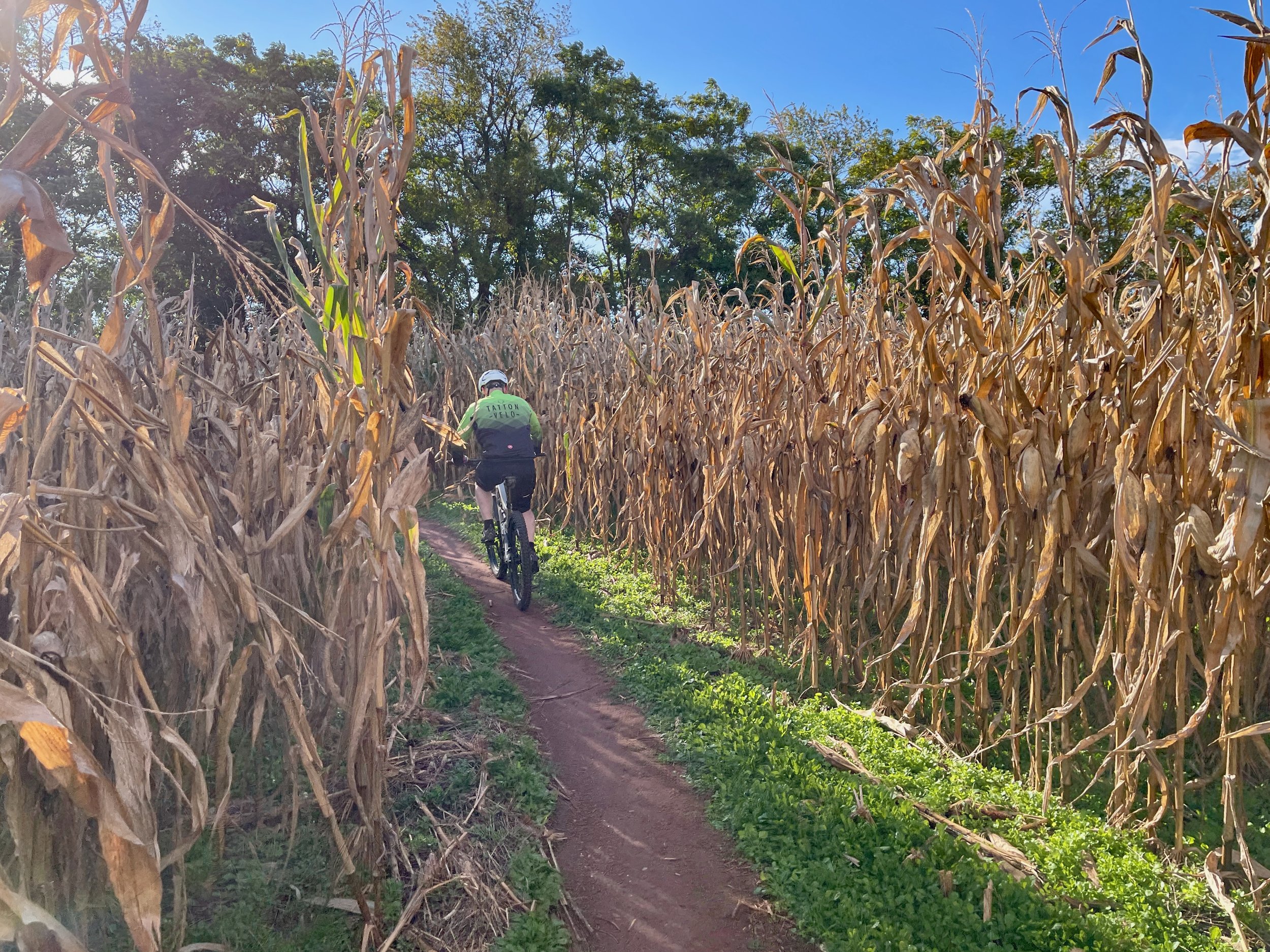

The Montgomery County (MoCo) South presented in Mountain Biking the Washington DC/Baltimore Area combines multiple trails in Montgomery County, MD, including portions of Schaffer Farms, The Seneca Ridge Trail, The Seneca Bluffs Trail, the Muddy Branch Trail and a portion of the C&O Canal Towpath. The ride is a culmination of an effort that began in the mid 90s when MORE representatives began work on the trails at Schaffer Farms to one day provide connectivity between the parks along the Seneca Creek stream Valley. The majority of this loop runs along classic MoCo singletrack. If you have the legs for it I highly recommend it

The MoCo South loop traverses a portion of the iconic C&O towpath.
MoCo South
Location: Montgomery COunty, VA
Length: 39 Miles
Ride Time: 4 - 6 hours hours, depending on skill level
Ride Type: MTB
Difficulty: Level 3 Riding: The MoCo South Loop combines several trails in Montgomery County Maryland. While not technically difficult, the distance factor makes this ride more difficult than others. Come prepared for a long time on the saddle.
Book: The MoCo South loop was first document in Mountain Biking the Washington DC/Baltimore Area and burrowed from MORE’s MoCo Epic ride festival. Since first published a portion of the ride has changed. Riders no longer have to traverse the Kentlands, a suburban development. Today, riders can follow the new Pepco trail under the power lines from Riffle Ford Road to Quince Orchard Road and the Muddy Branch Trail. You can find an updated track here.
MADE POSSIBLE BY OUR SPONSORS; MORE CONTENT BELOW...
